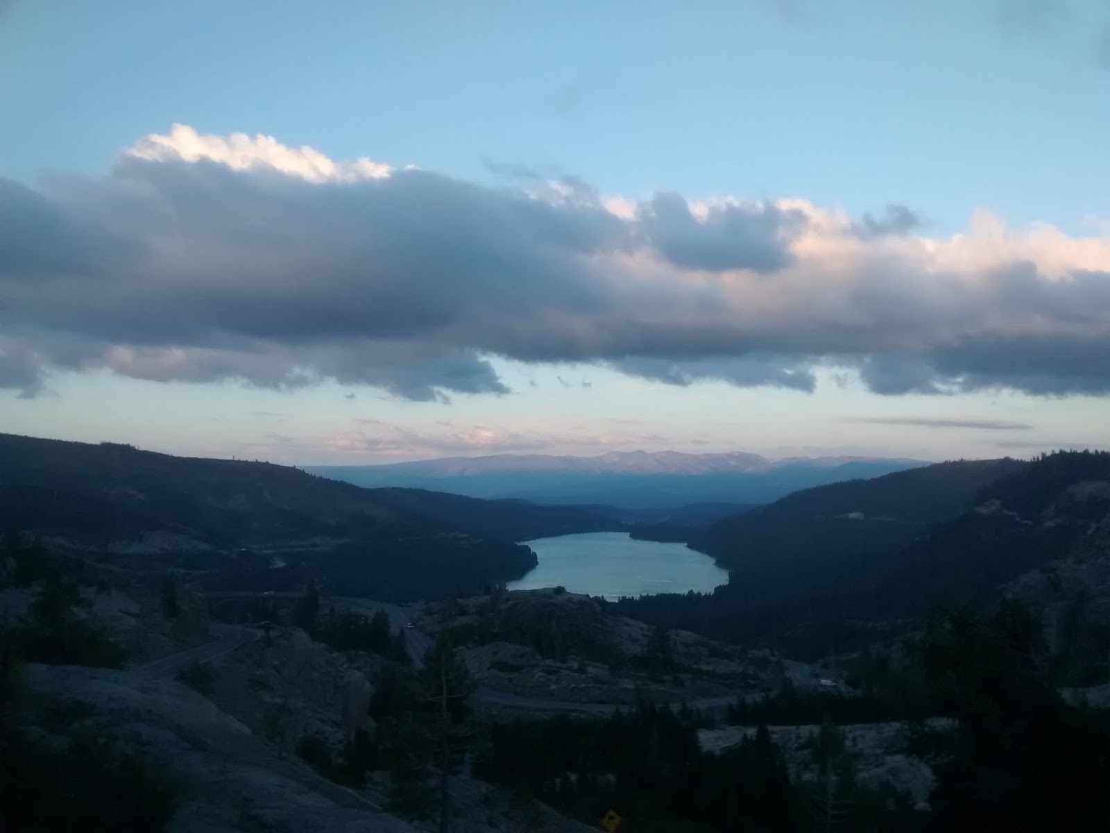
The PCT seems a long, long time ago. Readapting to living "in civilization" went quickly, though my feet still ache from time to time. I've spent a few weeks spending time with family, including road trips to Big Sur on the California coast and to Portland, Oregon (lots of smoke in the northwest; there are about sixty miles of PCT trail closures in Oregon and Washington due to forest fires).
To wrap up my trail blog, I've included kit details below, as a gear discussion is a traditional inclusion in every PCT blog I've seen. I'd considered trying to summarize my closing thoughts about the trail in another entry, but I've concluded that there's still more reflection required and that there will still be takeaways and impacts that I'm not yet aware of. I am planning to return to the office and my company and will now be searching for a role. In any case, I expect that returning to a busy schedule will trigger more thoughts on my hike.
So, this entry will close things out for the moment. Sadly, this topic will bore folks not interested in gear! If you have an interest, then read on...
Gear:
Nowadays, there are a wide variety of vendors offering an ever increasingly sophisticated variety of gear for the outdoors. Just about every item can be considered for trade-offs across price, weight, and functionality. You can spend endless hours agonizing over choices and analyzing the contents of posted gear lists for other hikers.
My general thoughts for multimonth hikes:
*Gear can be very individual. I recommend attempting to field test as much of your kit as possible in advance of your trip to learn what works for you. Hours of analysis and contemplation are no substitute for the learnings from in-the-field experience. Also, you needn't follow what "everyone else is doing"; pack what works for you.
*On a multimonth hike, inevitably you will end up replacing some gear with a different model, and incurring the accompanying costs, unless you're already gone through this process as an experienced long distance hiker. This is typical and not something to fret over (budget permitting).
*Speaking of budgets, a long distance hike may be more expensive than you think. In addition to gear, there's the cost of food, resupplying consumables like fuel and sanitizer, transport (to and from the trail, within the trail), the occasional hotel room or hostel, and socializing. With respect to budget and gear:
1) Spending more for additional lightness or functionality can be worth it. There are hikers who end up replacing tents, backpacks, shoes or other expensive items on the trail and end up spending more than they would have if they had bought the more expensive model to start. Try to take the time to try things out in advance, including taking the time in the store with a salesperson to test things out. Think about the factors that are most important to you, rather than all the features that are marketed, or all the features touted on blogs.
2) Still, you certainly don't need the most expensive model of everything. People who hiked the PCT twenty years ago had nowhere near the designs and materials offered to hikers today. An extra pound in base weight will not doom your hike.
*In any case, unless you've splurged on the lightest gear in all categories, you will repeatedly spend time throughout your hike thinking about how you can reduce your pack weight!
In my case, naturally I didn't follow my advice. Given limited options in India, I bought my gear online in the U.S., sight unseen, then packed it up, untested, when I returned. I hit the trail and hoped for the best. (I hadn't even fully pitched my tent until my first night on the trail; I don't recommend this approach!).
That said, to improve my odds of success (and overall the my kit was a success), I followed two actions.
First, I performed moderate online research, looking at maybe a dozen PCT gear lists, a half-dozen videos, and a half-dozen sites with gear reviews and tips (in particular, REI, Section Hiker, Outdoor Gear Lab, and Andrew Skurka). This gave me a sense of the major vendors and products and trade-offs.
Second, I leveraged my UK hiking experience -- this was my stand-in for testing gear in advance. For example, my UK daypack wasn't big enough for a long distance hike, but I used its sizing for ordering another pack.
I chose gear that was widely used, and I tried to buy as much of it on sale as I could over the course of several months. Other demands in India limited the time available to obsess over gear and prevented "analysis paralysis".
Without further ado...
Pack: ULA Circuit. Far from the lightest pack available, but tried and true by probably hundreds of PCT hikers. I went with the basic model, not the cuben material version. The pack was a little tight with a bear can, but it worked well for my 1,600 miles. In the summer, this was the most common pack on the trail. In the spring, the Osprey Exo 58 was the most common pack I saw.
Tent: Big Agnes Fly Creek UL1. Pricey, and again, not the lightest model available, but it is straightforward to set up just about anywhere. The tent is small; I wouldn't recommend it for anyone six feet tall. Condensation is an issue. But overall, I recommend it. The material may seem flimsy but it held up fairly well, and the tent kept me sheltered from elements including a snowstorm, hail, and high winds.
Sleeping Bag: Sierra Designs Backcountry down quilt. The particular 40 degree-rated model I got appears discontinued, with other models replacing this. As with all sleeping quilts, it's lighter than a sleeping bag, given the absence of material on the bottom. There were definitely a number of nights where a warmer bag would have been welcome. If you sleep cold, I recommend a warmer bag, even if it's heavier. I compensated by wearing layers and, for a few nights in the High Sierras, actually using an emergency blanket. I used a silk liner to help keep the bag clean. My pillow was always extra clothing in the cuben bag used for my quilt.
Shoes: Merrill Ventilators, "wide" model. These are very common, basic hiking shoes. Not as light as trail runners, but as I wrote before, trail runners are generally too narrow for my feet. I didn't bother with anything water-resistant or waterproof; I wanted as much ventilation as possible. I bought these in person, not online, and wore these indoors for a few days first to validate they were comfortable (if not, then you still have a clean pair of shoes to return).
Water treatment: I used a Sawyer filter primarily and carried Aquamira as a backup. I actually used three different filters...
1) I started with the Sawyer-mini. Brilliant design, but the drawback of the mini is that it has a relatively slow flow rate; it takes a while to filter lots of water. If you filter water directly into your mouth, the flow feels appropriate for savoring a fine wine, not quenching thirst.
2) In Bishop, as the local outfitter didn't have the regular-sized Sawyer, I bought an Aquamira filter bottle, which has the filter and a bite valve built in to the top for a plastic bottle. This worked great for a High Sierra environment where there was flowing water all over the trail; you could just grab water and go and suck it up through the valve. The limitation was that you couldn't filter water into another container. Which led me finally to using...
3) the "normal" sized Sawyer filter, which has a much faster flow rate than the mini. The o-ring on the normal filter is somewhat fragile, though, and broke off after 400 miles, which meant I had to reseat this in the filter every time I unscrewed the filter from a container. In the end, no filter was perfect. For a long-distance hike, I'd recommend the normal-sized Sawyer overall. The weight savings of the mini are outweighed by the slower flow rate. The mini would be great for trips where you will only be filtering small amounts of water.
For carrying water, I primarily used SmartWater water bottles or the generic Safeway electrolyte water bottles. I carried a 2-L Platypus for when extra water was needed. I carried a 1-L Platypus that I used with the Sawyer filters (until it sprung a leak; I then switched to the Sawyer Squeeze bags that came with the filter). I always had an empty 591-mL bottle (Vitamin Water or Gatorade) for scooping up water.
Sleeping pad: the other item that I replaced. I ended up using the Therm-a-Rest Z lite sol, which is much warmer than the Gossamer Gear foam pad I started with.
Outerwear:
Insulated jacket - Montbell Thermawrap. Loved this jacket, which was key given it gets chilly in the mountains, even in August. You can get relatively inexpensive down coats at Uniqlo or Costco; not sure of the quality.
Fleece - I didn't see anyone else on the trail carrying a fleece; everyone else appeared to only carry an insulated jacket. However, I found I got too hot hiking while wearing an insulated jacket. A fleece has breathability in addition to its warmth. I much preferred hiking with a fleece on if I needed something warm. The fleece was worth the extra weight to me.
Rainwear - Montbell Versalite waterproofs. Given the dry weather, the pants weren't really needed, though the jacket I used enough times to be worth carrying. Worked fine.
Clothing:
Socks - Drymax 1/4 length trail socks. Very expensive synthetics, but they work incredibly well for my feet, and they are sturdy and didn't need replacing -- no holes. Definitely worth the investment for me as they helped to keep my feet dry and thus minimize blisters.
Shirt - Ex-Officio button-down, 90% nylon/10% polyester. Held up well, way less stinky than 100% polyester shirts that I've worn. Available at a discount if one is less concerned about the particular style/color. I wore long sleeves to keep off the sun, insects, and wind.
Trousers - Columbia convertibles. Worked great, apart from the stitching coming out of the back pockets after a few hundred miles. I didn't really use the convertibility feature.
Hat: I wore a sunhat of the type with a removable drape the lay on and covered my neck. Not at all a stylish design, but invaluable for keeping the high altitude sun off of my skin and eliminating any need for hauling sunblock around. (The drape made me wonder if this is what having long hair feels like, in having to move it out of the way while drinking, and wanting to move it out of the way to let the back of your neck feel the fresh air.)
Trekking poles - Black Diamond poles with cork grips, aluminum shafts and those external flip locks that are easy to release. Trekking poles help me immensely with long-distance hiking, but there are significant numbers of hikers who hike without poles. I also wore batting gloves while hiking -- these kept the sun, insects, and blisters off my hands.
Electronics-wise, I carried a smartphone and a pocket FM/AM radio. Most hikers don't pack a radio, but I'd pack this again -- I found it great to have along.
Those, I think, are all the key components of my kit. For extra clothing, I started with many extra items, but by the end of my hike I was down to one extra pair of socks, one extra pair of underwear (the widely popular Ex-Officio brand), a long sleeve Patagonia capilene, a short-sleeve wool shirt, and a pair of running shorts with a built-in liner. You get used to wearing the same clothes over and over again.
Food wise, as I noted, I did not carry a stove (and thus didn't carry any fuel or pans).
I did weigh some of my gear, but I didn't go to the lengths of weighing everything. Nor did I type out a complete inventory of my pack. So, I don't know my actual base weight (base weight doesn't consider food or water), but I figure it was well under 20 lbs to start, and maybe 16 pounds by the end, once I had a better sense of what I needed (heresy, I know, not knowing my base weight, but in the run-up to starting my hike, given limited time with my gear, all I was focused on was that my pack be manageable, not weighed to the ounce).
So, hiking with gear you've never used before can be done, but there's tremendous value in trying things out beforehand!